
Tog' echkisi
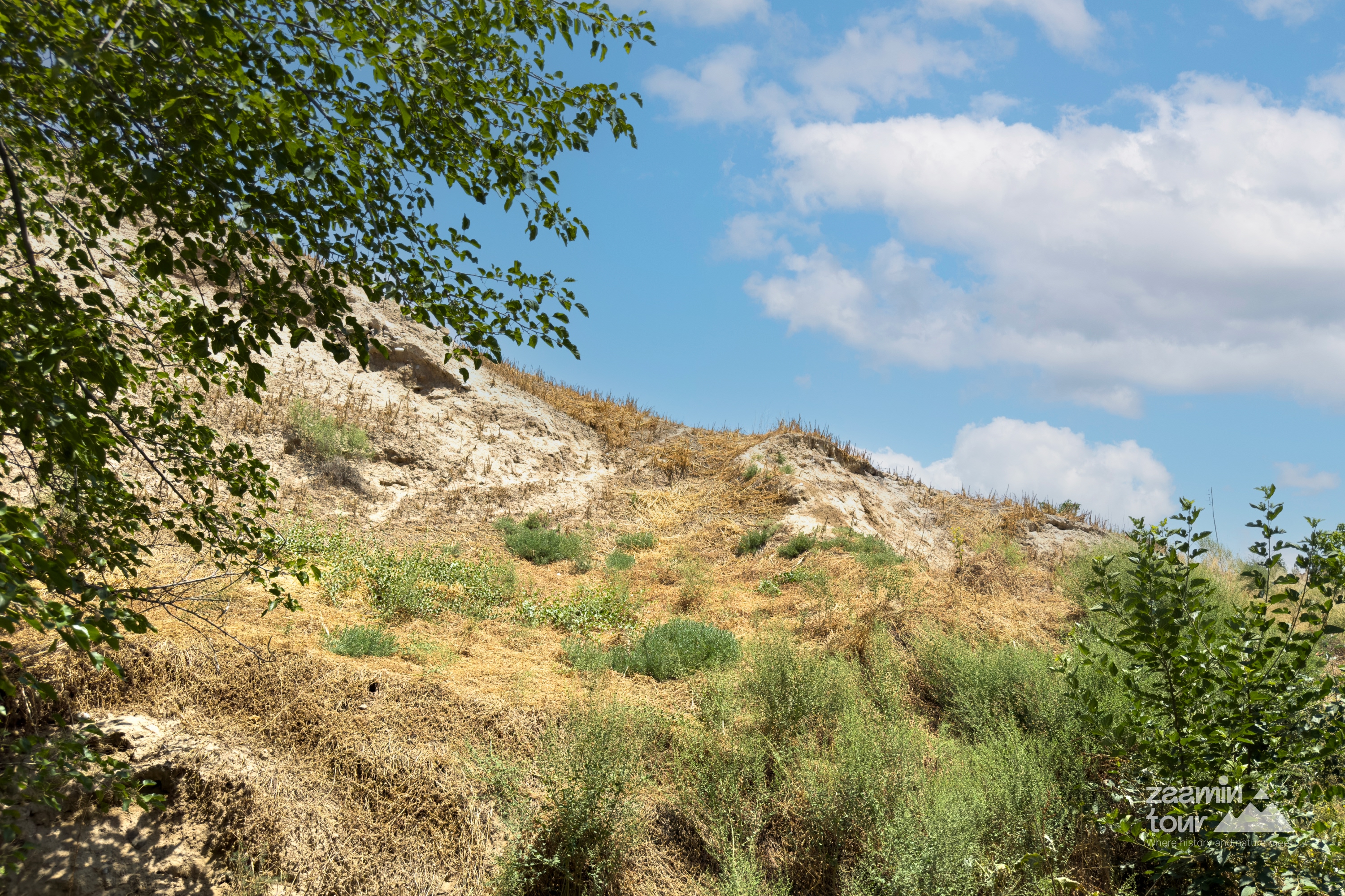
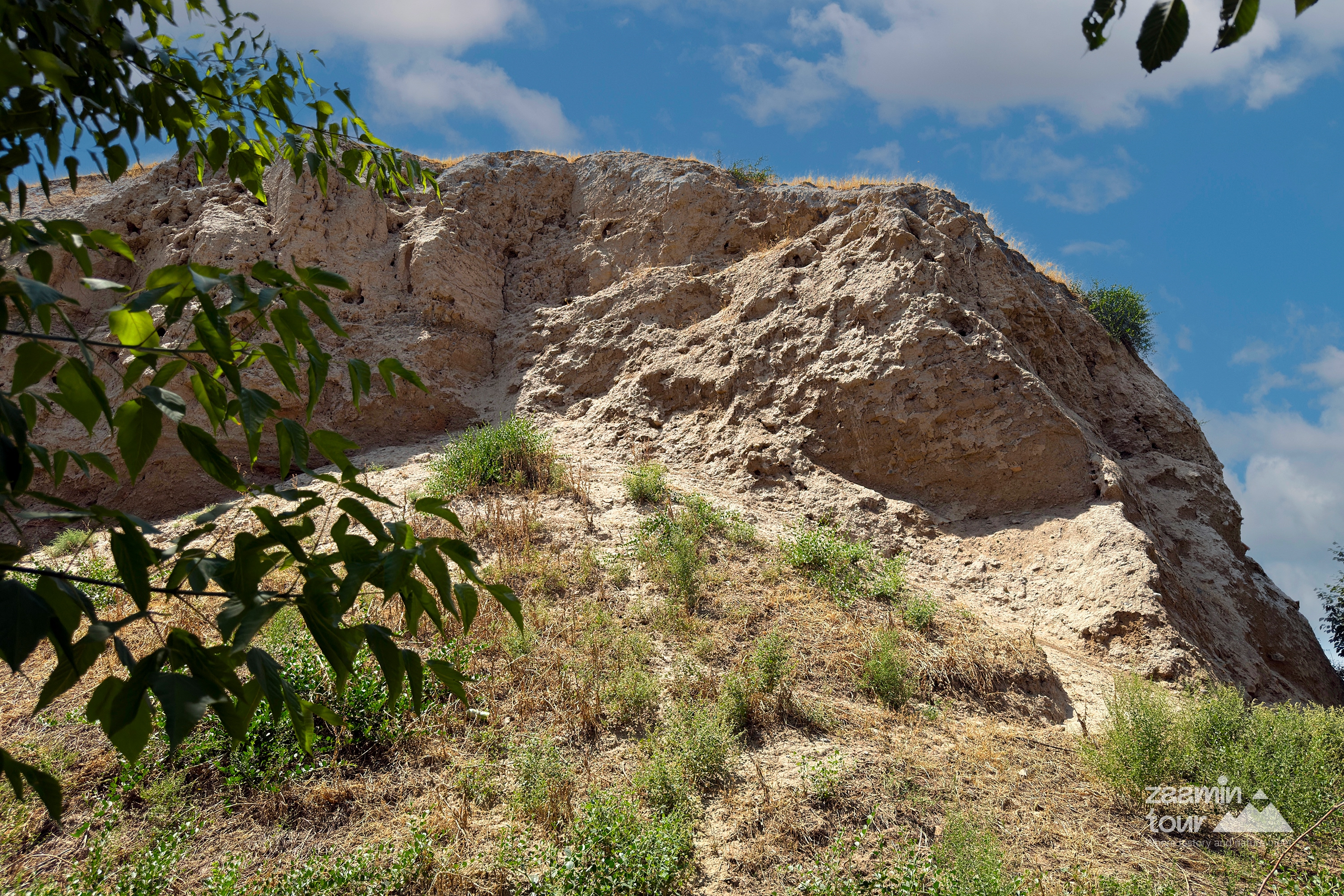
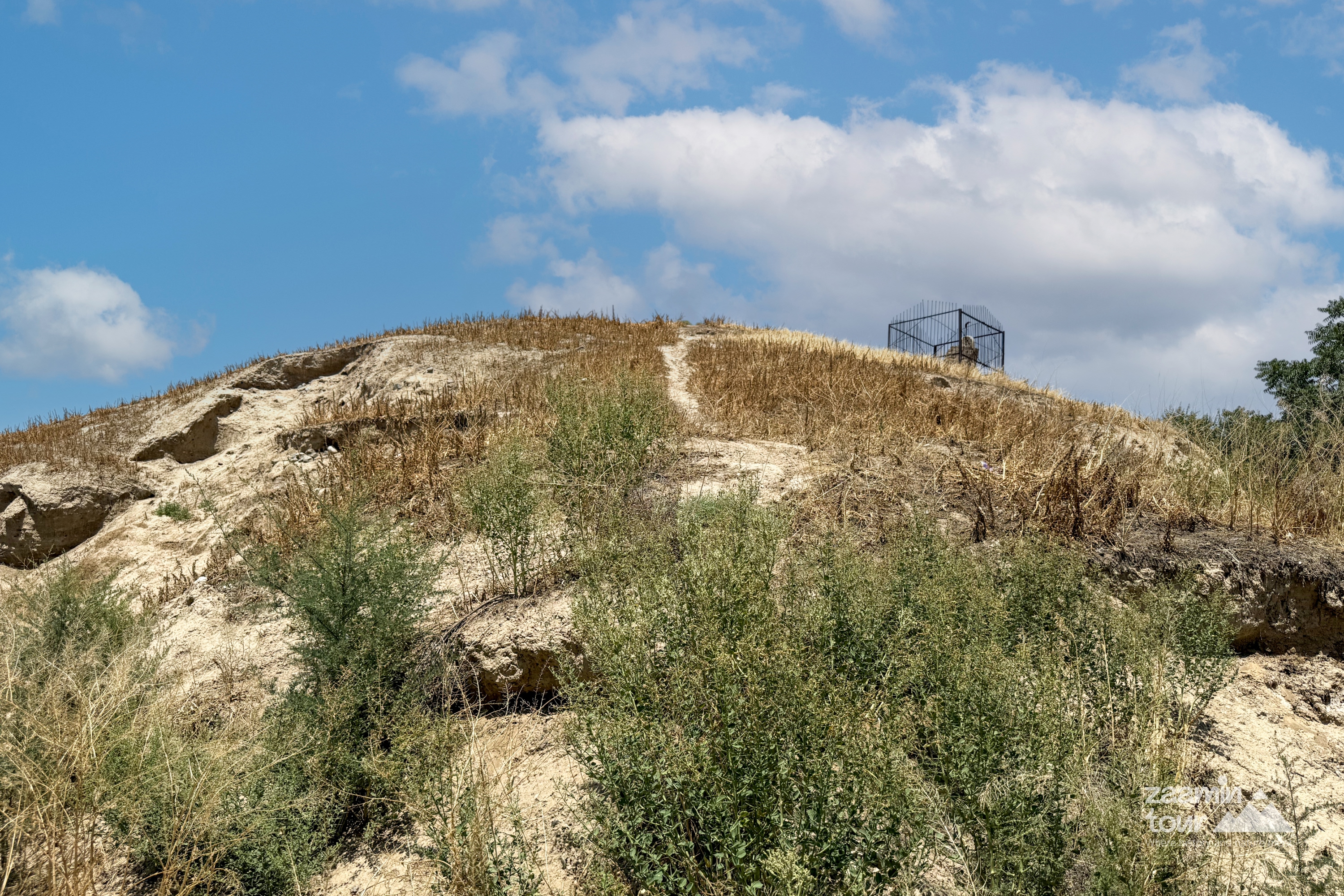
4th-8th century Oqtepa MFY, located on Aburayim Sattorov Street. Oqtepa is located in the center of Zomin district, about 0.8-1.0 km east of Qurghontepa, where the memorial complex is located, on the ung coast of Zominsuv. Highways ran from the North and south sides of the monument, located at the East and west ends. Traces of intense and nomadic life on all sides-guwala and stone walls, remains of solid humus and ash from farms where grass fell, are located, orally. Adjacent to the southern part of the hill, a stratigraphic schurf (well pit) was dug to study the layers of the Earth from near the wall, which was plucked from large bricks. It measures 3 by 5 metres. It was later extended to a 5 × 5 m-Hill. The excavation began with a scale of a concrete column under a geodesic tower above XXIV Yarus. Originally the top of the hill was urinated. Under the layer lay the anchayin soft kat-kat soil, which was mixed with archaeological materials. The excavation continued downward, with the aforementioned wall burning.
°C
Feels like: °C
...
...